Ground Penetrating Radar (gpr) Services Harrisburg, PA
Professional Ground Penetrating Radar services in Harrisburg, PA for safe excavation and construction planning.
Local Ground Penetrating Radar Expertise
In Harrisburg, PA, ground penetrating radar (GPR) services help contractors and property owners see what's beneath the surface before digging. Our non-destructive scanning locates buried utilities, maps soil conditions, and identifies concrete reinforcement—keeping your excavation safe and your budget on track.
Whether you're breaking ground for a new foundation or cutting through concrete in Midtown, GPR prevents costly utility strikes and structural damage.
How We Work
Our GPR process combines field expertise with real-time data interpretation to deliver clarity fast.
Site Evaluation
We assess your location, soil type, and existing surface conditions. For Downtown Harrisburg projects, we account for buried infrastructure density typical of older city grids.
GPR Scanning
Our technicians deploy portable GPR equipment over your target area, transmitting electromagnetic pulses into the ground. The system captures reflections in real time.
Data Review
We process and interpret the radar data to identify pipes, cables, voids, rebar, and soil layers. Each finding is marked and documented for your report.
Report Delivery
You receive detailed documentation showing utility locations, depths, and subsurface features—ready for permitting and safe construction planning in Harrisburg.
You'll always know what's happening next—and when.
Our Services
Comprehensive GPR solutions tailored for Harrisburg construction and excavation projects.
Utility Locating and Mapping
Before any excavation in Harrisburg, PA, GPR finds buried water lines, gas mains, electrical conduits, and sewer systems. Accurate mapping prevents strikes, fines, and safety emergencies. Uptown and Midtown neighborhoods have dense utility networks—GPR cuts through confusion and risk.
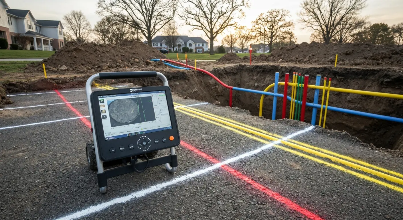
GPR field scan capturing utility data in Harrisburg excavation site.
Concrete Scanning and Rebar Detection
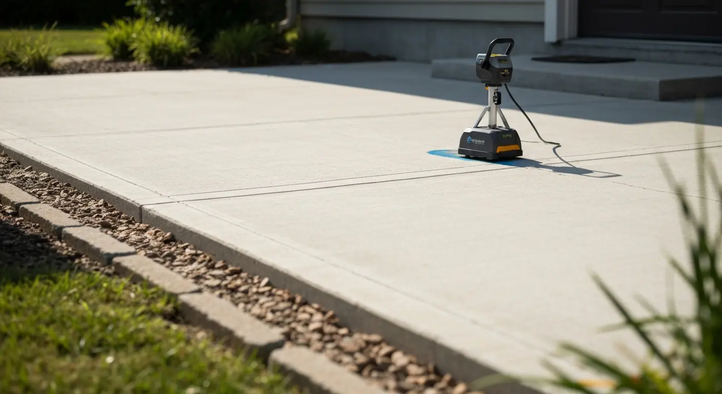
High-resolution GPR scan reveals rebar location and depth in concrete slab.
Cutting or drilling concrete without knowing where rebar and post-tension cables sit causes structural failure. GPR pinpoints reinforcement depth and spacing. Contractors in downtown Harrisburg buildings trust this service before any concrete work.
Subsurface Condition Assessment
Planning excavation or foundation work? GPR maps soil layers, detects underground voids, and identifies old buried structures. Harrisburg's varied terrain—from river-influenced Uptown to older industrial South Harrisburg—benefits from pre-dig assessment.
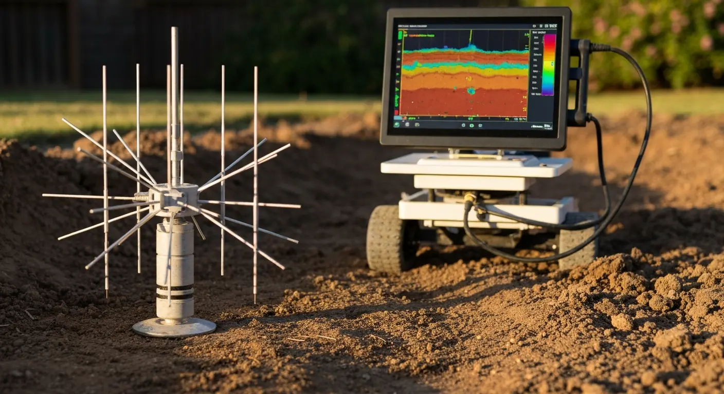
GPR radargram showing soil layer transitions and subsurface anomalies.
Septic System and Drainage Line Detection
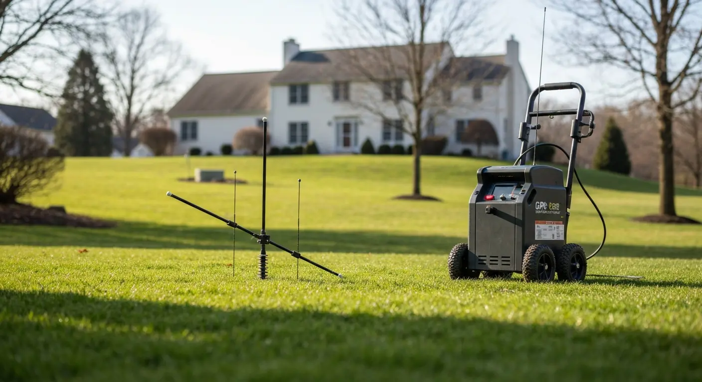
GPR locates septic tanks and drain fields without excavation in Harrisburg properties.
Whether locating a septic system for repair or verifying drainage lines before construction, GPR delivers non-invasive answers. Suburban Harrisburg and surrounding areas rely on this for safe site planning.
Why It Matters
GPR is the safer, smarter way to build and excavate in Harrisburg.
Safety First, Always
Striking a buried utility can cause injury, death, or service outages affecting thousands. GPR eliminates guesswork and gives your team clear, real-time visibility of what's below.
More than 650,000 utility locating calls happen annually across North America. GPR keeps Harrisburg projects on that safe list.
Saves Time and Money
A single utility strike can delay your project weeks and cost $10,000–$50,000 in repairs. GPR is fast, affordable upfront, and prevents expensive mistakes. One scan clarifies your entire subsurface strategy.
Serving Harrisburg and Surrounding Areas
Local expertise you can trust.
We understand Harrisburg's unique building landscape—from historic Midtown rowhouses to modern Downtown commercial sites, river-influenced Uptown neighborhoods, and suburban expansion areas. Our technicians are familiar with local utility patterns, soil composition, and building codes that affect your project.
- Downtown Harrisburg: Dense infrastructure, old grid patterns, commercial consolidation
- Midtown and Old Uptown: Historic neighborhoods with aging utility lines and complex easements
- Uptown and River Districts: Proximity to Susquehanna River means water and flood-mitigation infrastructure
- Suburban and Outlying Areas: Septic systems, rural utilities, and expanding infrastructure
Ready to Get Started?
Call us or request a free consultation to discuss your Harrisburg excavation, site preparation, or construction project. We'll answer questions about scope, timeline, and next steps.
Don't start digging without knowing what's below. Let GPR services give you the clarity to build safely.
Frequently Asked Questions
Common questions about Ground Penetrating Radar in Harrisburg.
What is ground penetrating radar and how does it work?
GPR is a non-destructive imaging method that sends electromagnetic pulses into the ground. These pulses bounce off objects and subsurface boundaries, and the reflections are captured and converted into a visual map. This lets you see pipes, cables, rebar, voids, and soil layers without digging.
Is GPR safe for the environment and my property?
Yes. GPR uses low-power electromagnetic energy and causes no damage to soil, structures, or landscaping. It's completely non-invasive and non-destructive, making it ideal for sensitive or developed sites in Harrisburg.
How deep can GPR scan?
Depth depends on antenna frequency and soil conductivity. Shallow targets (rebar, pipes) are typically detected 6–18 inches down. Deeper scans for utilities or soil layers can reach 3–10 feet. Your site conditions determine the best approach.
Do I need GPR or can I just call 811 for utility locating?
811 marks public utilities. However, private lines (private water, gas, drainage) aren't registered with 811. GPR captures both public and private utilities, giving you complete subsurface visibility before excavation in Harrisburg.
How long does a GPR scan take?
Small sites or single concrete slabs take 1–2 hours. Larger excavation areas or complex assessments may take 3–6 hours. We provide a time estimate after discussing your specific Harrisburg project.
What happens after GPR scanning?
You receive a detailed report with visual maps, utility locations, depths, and recommendations. This documentation supports your permits, contractor planning, and construction safety in Harrisburg.
DISCOVER WHAT OUR CUSTOMERS HAVE TO SAY ABOUT US
REVIEWS
proudly serving these areas
Annville, PA
Camp Hill, PA
Carlisle, PA
Dillsburg, PA
Enola, PA
Ephrata, PA
Etters, PA
Grantville, PA
READY TO take the next step?
get a free quote TODAY!
QUICK LINKS
our services
service areas
operating HOURS
Mon: 7:00 am - 4:00 pm
Tue: 7:00 am - 4:00 pm
Wed: 7:00 am - 4:00 pm
Thu: 7:00 am - 4:00 pm
Fri: 7:00 am - 4:00 pm
Sat: Closed - Closed
Sun: Closed - Closed